
This webpage pulls together publicly available webcam images alongside clear day reference images from Central Oregon to help pilots with situational awareness and preflight planning. Click on the images for larger versions, always check the image time/date stamps (some do not update 24 hours a day) and refresh the page for latest images. Elevations are in MSL and rounded to the nearest 100 feet. Images best viewed on a computer for more detail.
DISCLAIMER – these are NOT FAA-approved aviation weather safety webcams and there is no guarantee as to how often the images are updated – please use common sense in their use for preflight planning. See full disclaimer below.
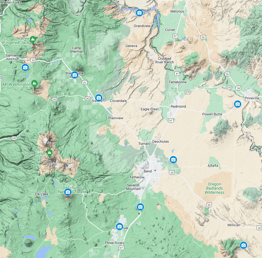
Click on the map or just scroll down for locations (roughly ordered north to south) with clear day reference images. Click on any image for a larger view.
Lake Billy Chinook

Visit official webcam providers website
Hoodoo


Visit official webcam providers website
Black Butte Ranch
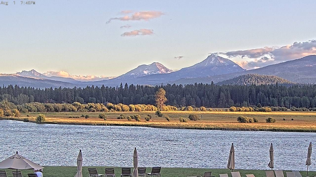
Visit official webcam providers website
Sisters Airport (6K5)
Visit official webcam providers website | AWOS (617-262 3825)
Sisters Aspen Lakes Golf Course – Looking West

Visit official webcam providers website
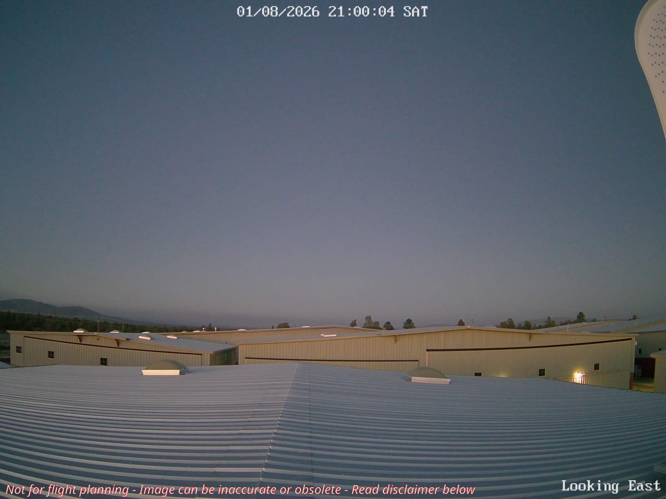
Prineville Airport (S39)

Visit official webcam providers website | AWOS (541-447-4060)| METAR
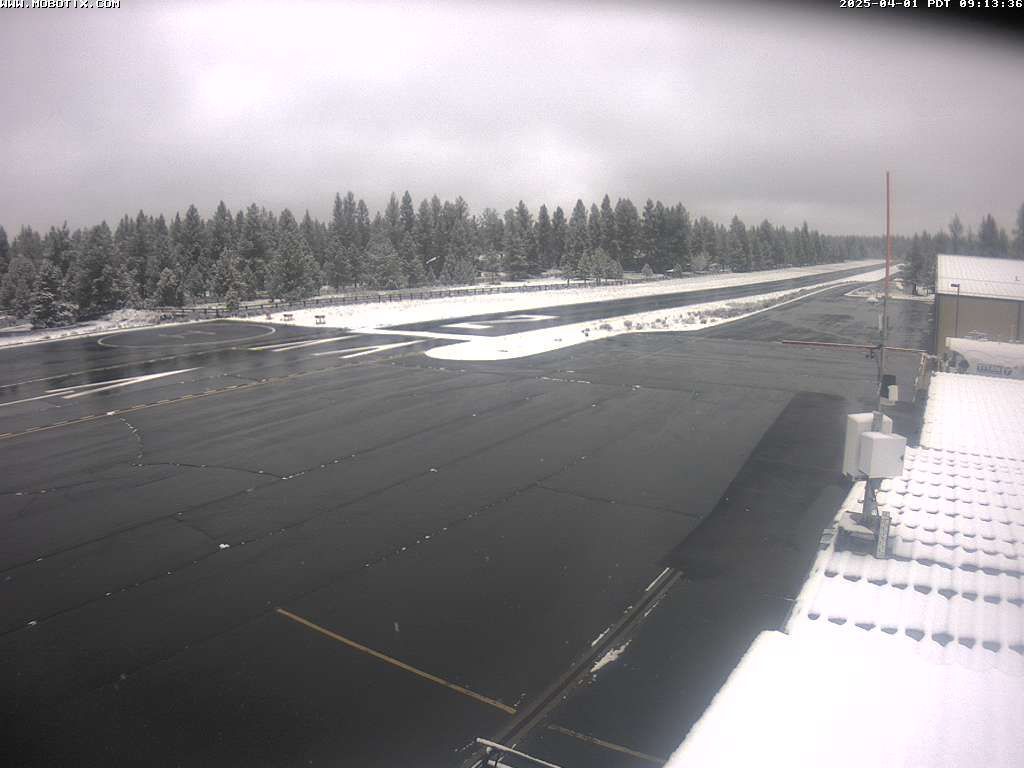
Bend Airport (KBDN)
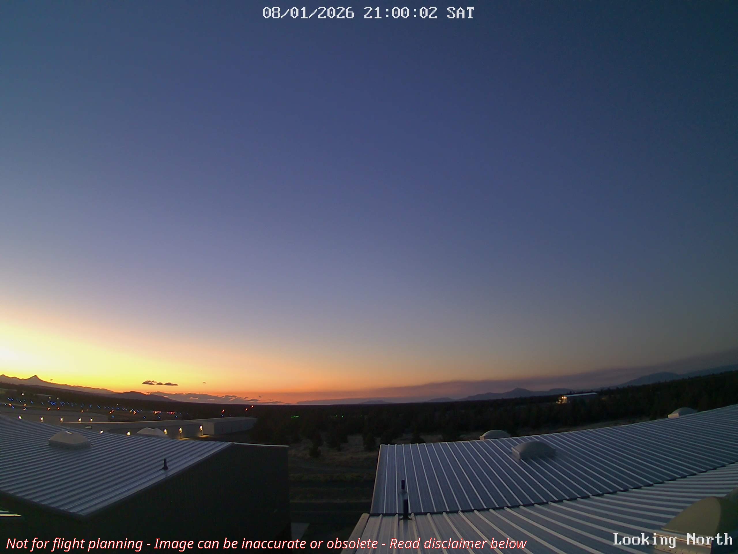
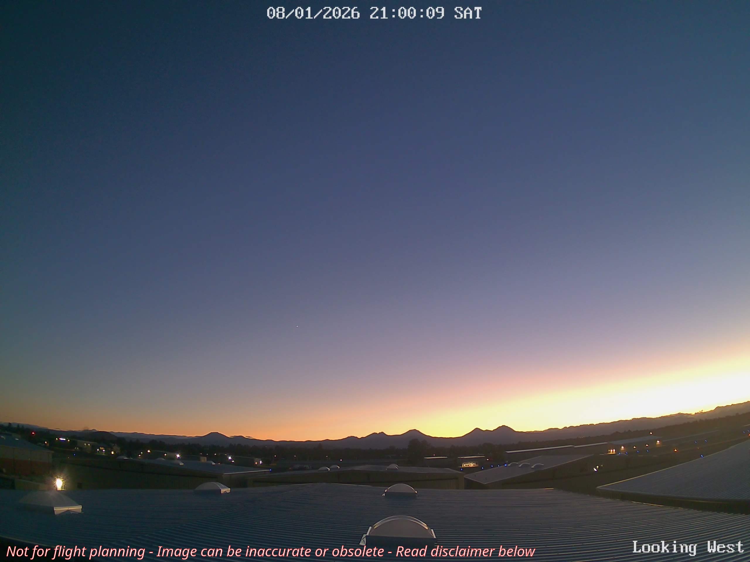
Visit official webcam providers website | AWOS (541-382-1477)| METAR & TAF
Mt. Bachelor
Visit official webcam providers website
Lava Butte (US-97 Southbound)
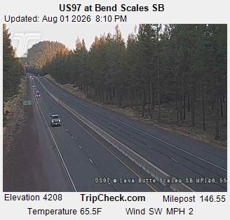
Visit official webcam providers website
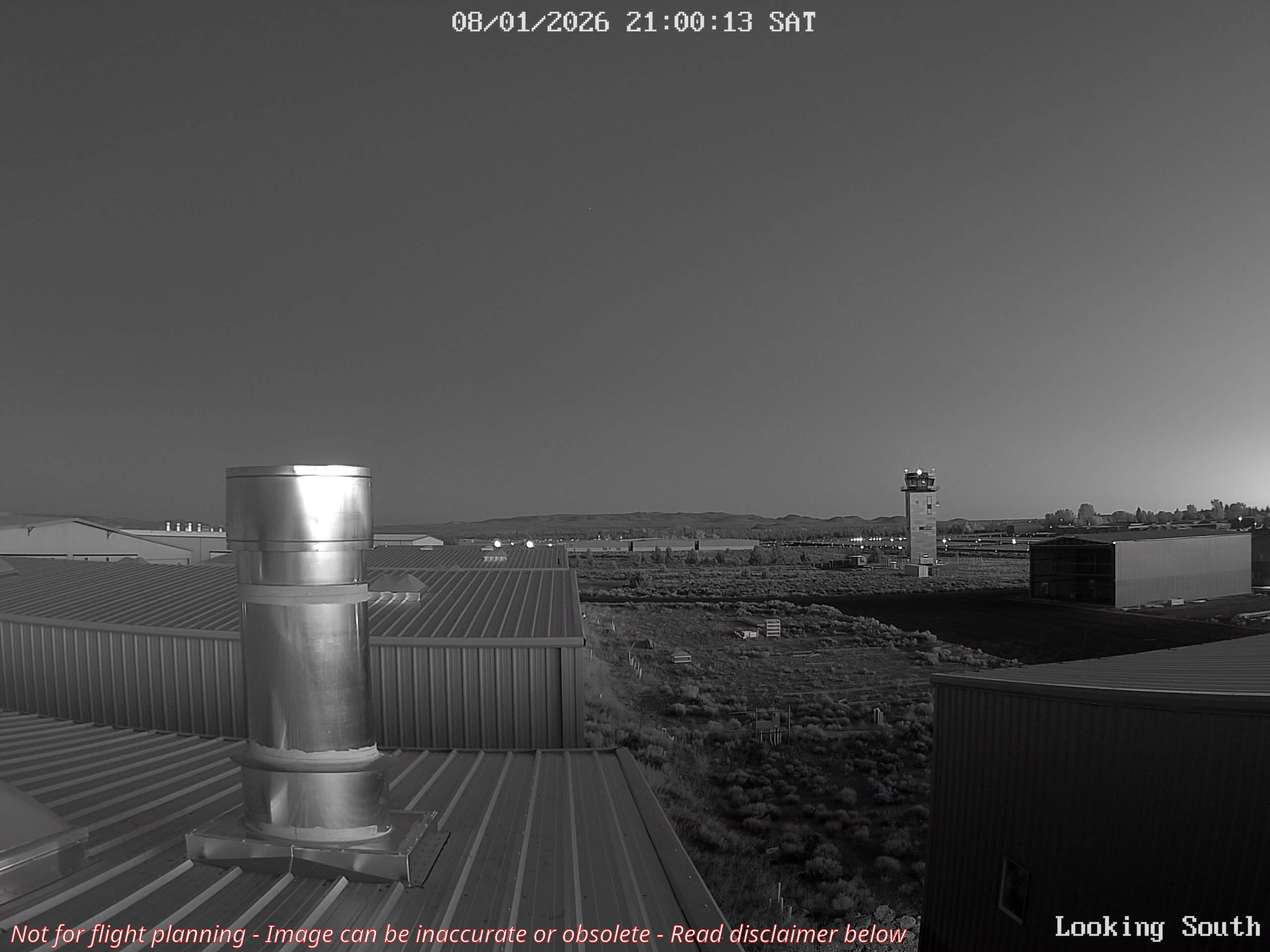
Sunriver Airport (S21)

Visit official webcam providers website | AWOS (541-593-4623)| METAR
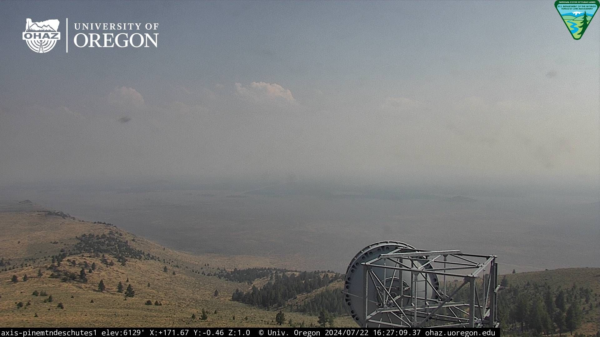
Pine Mountain (Rotating Camera) – Click for Latest Image
Christmas Valley – Looking Southwest

Visit official webcam providers website for latest images, timelapse & other directions too | Basic Weather
Suggestion & Corrections?
If you have suggestions for additional webcams, or errors in the clear day reference elevations/distances, etc, please let us know by using this contact form.
FULL DISCLAIMER
Remember – actual conditions may differ due to the update frequency and/or optical distortions experienced at the individual camera sites. The images on this page are not intended to serve as a substitute for a pilots’ responsibilities under the relevant Federal Aviation Regulations (§91.103) to obtain proper weather information, such as an FAA weather briefing (www.1800wxbrief.com) or call 1-800-WXBRIEF.
Helicopter Training Videos assumes no responsibility for the accuracy, completeness or appropriateness of the information provided on this webpage and shall not be liable for its content, or for any errors or interruptions in the transmission of images.
Helicopter Training Videos assume no responsibility for anyone’s use of the information on this webpage, and are not liable for any damages (of any type, for any reason, however caused, or under any theory of liability) arising in any way out of the use of this webpage.
Be smart – get a proper weather briefing.