
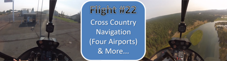
This is the twenty second training flight in a series following a student through his flight training from day 1 to checkride in an R22.
Due to flying with one door off, the airflow creates some extra noise, which means some interference in the audio in some parts of the video.
This is the student’s 1st cross country flight to 4 different airports. Some highlights of this lesson:
- Pilotage
- Dead reckoning
- Fuel planning
- Effects of wind/turbulence
Below the video are time-stamped notes/tips for the flight.
NOTES/TIPS:
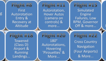
00:01 talking through navigation of the first leg of the cross country flight -heading and start timer
00:55 when testing carb heat, make sure it closes too before leaving it open (if needed)
01:45 make sure to set radios and GPS before rolling up to flight RPM
03:45 work out Vne based on highest altitude and temperature for the flight
04:10 cross check altimeter to known field elevation
06:05 review first leg of cross country trip before pickup
06:30 always try to predict how wind will affect your pickup
07:30 extra 1.5 inches of manifold for when using FULL carb heat, but on pick up the carb heat assist moves the carb heat down to less than full
11:30 when changing frequency, make a position report call first and listen for a response before changing frequency
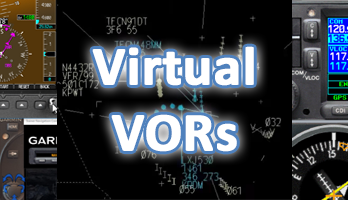
12:30 discussing opening a VFR flight plan with Flight Service Station (FSS) – in this case with “McMinnville Radio”
15:25 Aviate, Navigate, Communicate – in that order
16:40 the actual call to open the VFR flight plan with McMinnville Radio
18:50 long legs can be a problem if wind correction estimates off. Unless using a hand rail like a road and/or a visual cut off like crossing a road at your next checkpoint
20:20 when flight planning, direct straight line might not best/safest – use “hand rails” like roads, railway lines, cuttings, even power lines
23:15 using a combination of dead reckoning and pilotage to navigate
23:40 informal rule for following roads – like driving, stay on the right
23:50 getting altimeter and wind info from an airport UNICOMM- “airport advisories”
24:35 brief yourself on the airport- runways, elevation, traffic patterns etc
26:20 when things go wrong, they often make more memorable learning moments
31:20 displaced threshold
34:40 try to avoid overflying houses when low, if safe to do so
35:25 the compass us only accurate when straight and level
37:15 good idea to update your progress with Flight Service Station if on a VFR flight plan – called a ‘progress report’
42:00 know what radio equipment you have and don’t have and what facilities are available for use – in this case we could not use the Deschutes VOR frequency as we didn’t have a navigation radio installed
45:00 make sure to get local altimeter settings when flying cross country from closest airports along your route
47:30 VORs are places of convergence where extra vigilance and communication is required to avoid traffic conflicts
58:40 power lines, roads and railways, crossings and bridges all make good landmarks to navigate by
1:00:30 make sure you have a map handy
1:05:10 VFR cruising altitudes above 3000′ AGL
1:10:05 use the length of the runway as a measuring stick to estimate distance (1 mile average runway length)
1:12:20 use the AF/D (now called Chart Supplement) to find locations of wind socks etc
1:13:15 wind indicators come in a few different shapes – this one is a tetrahedron
1:14:20 good example of why it is best to stay on taxiways and runways at night – obstacles are lurking
1:17:16 stop for fuel and bathroom break
1:24:10 thermals creating bumps, caused by differential heating of the ground
1:27:15 use quiet parts of the flight to get ahead with setting radios, briefing airport information, etc
1:30:25 low G and lee wind downdraft discussion
1:32:15 use some math to estimate distance traveled by using airspeed and time
1:40:10 towers and other obstacles are good reasons to stay at pattern altitude until lined up with a PAPI or VASI at night
1:44:20 stay on with tower to hear incoming traffic
1:46:15 when best to close a VFR flight plan…
To view all the videos in this series, check out this YouTube playlist of all the Flight Training Sessions (Full-Length Unedited)

One Comment on “Day 22 – Helicopter Training Flight #22 – Cross Country Navigation (Four Airports) & More…”